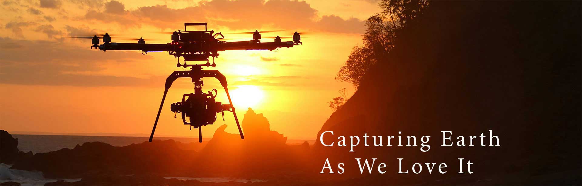
Beyond Futuristic Cameras
Beyond Futuristic Cameras
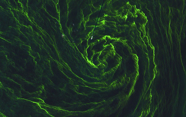
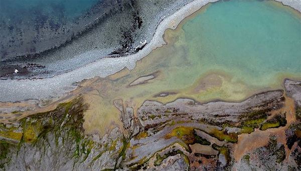
The environmental system around us comprises water, land and air. Their interaction creates a very complex topic which is a real challenge to study and explore. Obtaining accurate environmental data through reliable scientific survey is fundamental in understanding, identifying and monitoring environmental issues and processes.
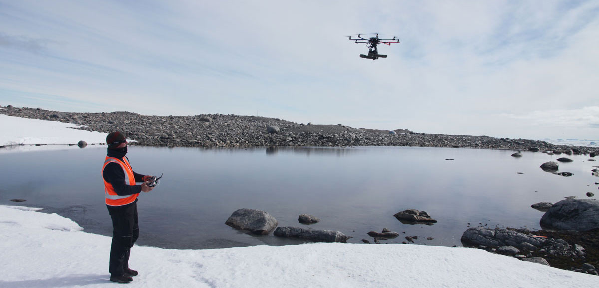
The aerial mobility of Drones and their advanced videography technology are extremely useful for many conservation and environmental protection applications. From glacial modeling and surveillance to animal counting and species identification, the list of environmental tasks that drones perform is truly amazing.
There are many reasons why environmental engineers and scientific researchers are increasingly using drones, often replacing terrestrial equipment or traditional aerial imaging services. Drones are timely and flexible, and can be launched instantly without sourcing and booking manned aircraft services. They require minimum staff and are perfect for time-sensitive projects. Drones are relatively quiet and do not scare animals.
Rotary drone systems are best suited for monitoring and charting smaller areas, enabling operators to capture video imagery and respond faster to what they see. Larger drones allow users to map larger areas during a single autonomous flight.
Drones are increasingly used to research the effects of climate change on global temperatures. Whether river beds drying up, droughts getting longer, or inland lakes drying up, drones can easily monitor these changes. Researchers can now track invasive species into water bodies, or keep vital records in changes over seasons and years to track local effects of climate change, identifying risks to local ecosystems.
Aerial photography taken with drones can explore the elimination of certain vegetation, or study the process of natural changes such as variations in soil and geology that might lead to landslides. In addition, drones are used for researching animal management & conservation, plant conservation, forestry, land change monitoring, terrain modeling, coastal management, river and flood assessment, regulation enforcement and much more.