
Beyond Futuristic Cameras
Beyond Futuristic Cameras
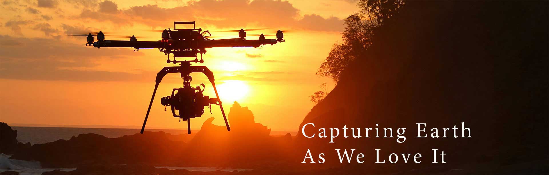
Over the past 50 years, surveying and engineering measurement technology has made huge progress. It started with the electronic distance meter and GPS, and moved on to robotic total station and laser scanners. UASs or drones consist the next quantum leap in the surveying technology.
Remote Aerial Surveys combine the latest advances in UAVs with innovative uses of imaging methods and equipment. Today UAVs are the perfect solution for a wide range of high quality mapping & aerial surveys. Their ability to take up-to-date high resolution imagery is priceless.
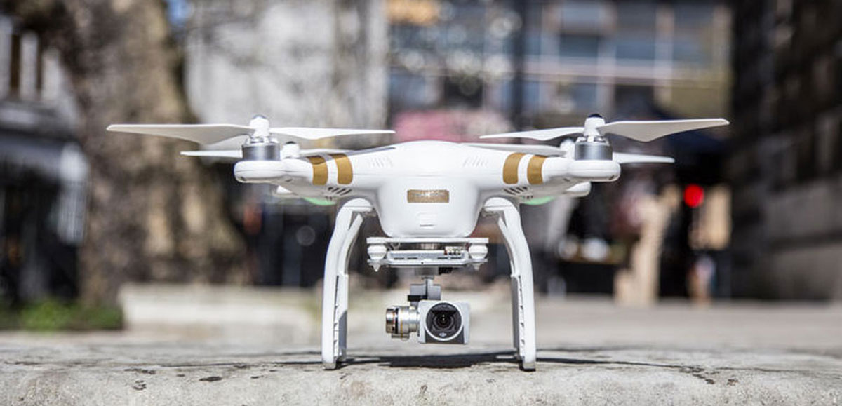
There are many reasons why land and environmental surveyors are so enthusiastic to add drones to their instruments. Drones significantly reduce the time spent collecting accurate data. Also, by acquiring raster data in the form of geo-referenced digital aerial images with resolutions as sharp as 1.5 cm per pixel, drones can gather millions of data points in one short flight.
With data collection made so simple, researchers can now focus on using and analysing data rather than on how to collect it. Large jobs that once took weeks can now be completed in just days. Not to mention that the less time spent on the ground means increased staff safety, minimising risk to surveying teams when measuring sites such as mines, unstable slopes and transport routes.
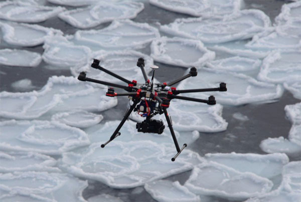
Aerial Surveying for Environmental Research & Observation