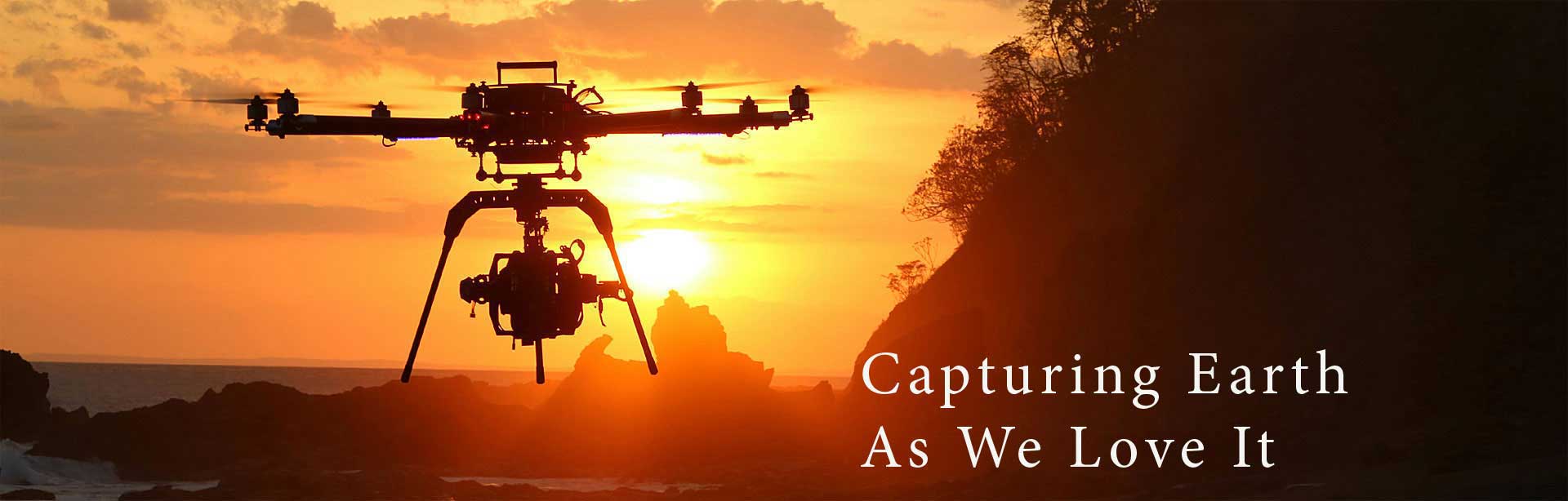
Beyond Futuristic Cameras
Beyond Futuristic Cameras
We all have 2D photos, but only a few of us may have thought of the possibility to transform these photos into an accurate and detailed 3D model. Yes, it's a very tough challenge, especially if we want to do it on a truly massive scale and have a large object as our creation subject.
So if you want to create a 3D model of a property and publish it online, map an adventure and create a 3D video animation, you can do it. If you need to inspect roofs, house extensions or solar installations, take your drone into the air and then produce a 3D model of architectural or landscaping project to share with clients. The solution is Pix4Dmapper.
Pix4Dmapper Mesh automatically converts the images or video taken with your consumer drone into 3D models. Create a flight plan and capture images using our free mobile application, Pix4Dmapper Capture App, then use the desktop software to edit and optimize your project. In Pix4Dmapper Mesh you can create fly through videos and export the model in full 3D textured mesh.
Pix4Dmapper software can automatically convert images taken by hand, by drone, or by plane and create deliver highly precise, georeferenced maps, mosaics and 3D models. The 3D models are customizable and integrate a wide range of applications and software.
The technique has been immediately adopted by the drone industry, because of the amazing images captured by drones, even with consumer cameras like GoPro, DSLR and a Mirrorless.
Pix4Dmapper Mesh turns out to be the first software choice for 3D modeling with consumer drones. The images can be processed automatically in Pix4Dmapper Mesh, creating photorealistic 3D models from images taken by drones.
The videos and full-textured-mesh models can then be exported to the social media and on the web to showcase your work. This is a whole new original way to improve projects. The software works with Phantom 2, 3 & 4 and Inspire 1.
The workflow of the software is fully automatic, meaning that you don't need to be a photogrammetry specialist to convert imagery into a 3D model. The aim of the new technology is accuracy, because most part of the users are civil engineers and architects that need the geo-referenced models and maps produced by Pix4Dmapper for their precision-projects.
Take your creative enthusiasm to the skies!